If, as suggested by a comprehensive new review in the journal Science, 2°C of global warming would lock in at least 20 feet (6 meters) of eventual sea level rise, what would that warming mean for the future and heritage of the U.S.?
It would mean a map we don’t recognize: Louisiana would shed its boot, the Eastern seaboard would seriously retract, and the Bay Area would grow a second inland bay — as the nation would lose more than 48,000 square miles of land, home today to 23.4 million people.
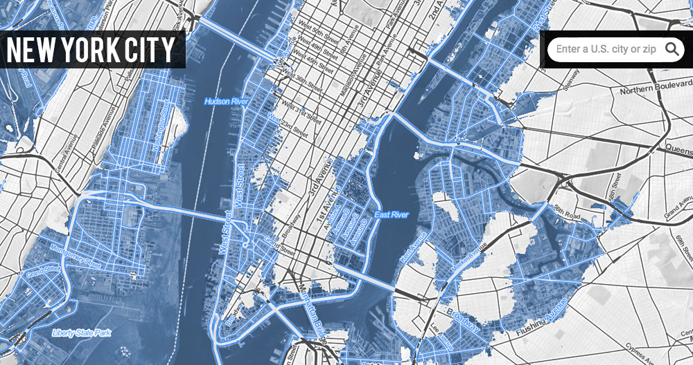 CLICK ON IMAGE ABOVE FOR INTERACTIVE VERSION
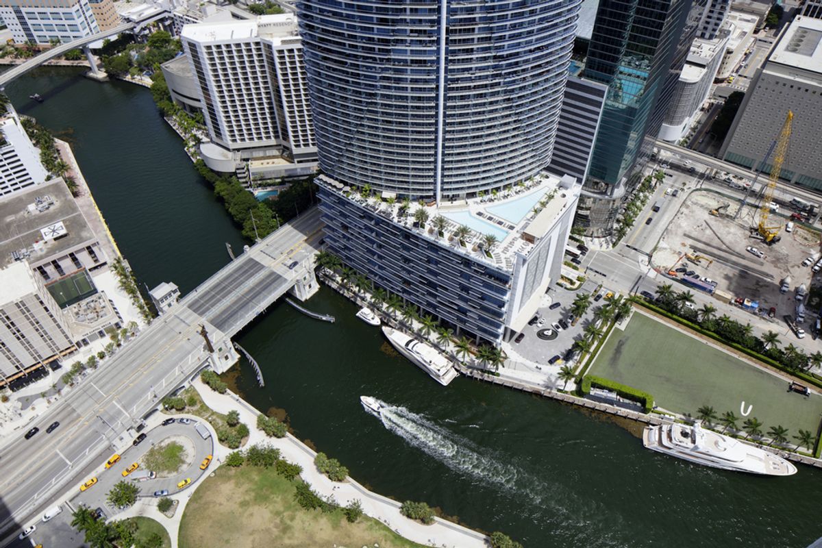
Florida alone would lose land that houses more than 9 million, followed by New York, California, Louisiana, Virginia, and New Jersey, each with more than a million people in threatened areas. An average high tide would more than double the height of Sandy’s peak surge at The Battery in New York City, while Hampton Roads, Va., and Charleston, S.C., would disappear almost entirely, along with too many towns and cities in Florida to count.
These findings, the tables on this page, and the associated zip code-searchable, interactive U.S. map come from Climate Central’s own analysis, using the same underlying data and peer-reviewed methods behind our Surging Seas map and research. For the brief study here, we used a water level of 20 feet (more precisely, 6 meters) above local high tide lines (Mean Higher High Water levels) across the U.S. Actual sea level rise would likely vary by several feet from region to region, depending upon multiple factors; but this level of detail is difficult to project and was not included in the Science paper that inspired this project.
Of course, sea level rise isn’t limited to U.S. shores. We have also posted an analysis of potential global impacts, affecting land where more than 375 million live today.
| Cities with the Most Population on Affected Land |
|
| CITY | POPULATION AFFECTED |
| 1. New York City 2. Virginia Beach 3. Miami 4. New Orleans 5. Jacksonville 6. Sacramento 7. Norfolk 8. Stockton, CA 9. Hialeah, FL 10. Boston |
1,870,000 407,000 399,000 343,000 290,000 286,000 242,000 241,000 225,000 220,000 |
Sea levels are already rising and posing challenges today. The twentieth foot of sea level rise could possibly arrive as soon as 2200; or it might take many more centuries for this total to accrue. Accordingly, the population exposure numbers in Climate Central’s analysis on this page do not represent fully materialized threats in the immediate moment. Under any circumstances, coastal populations and economies will reshape themselves over time. But the accumulating research on how sensitive sea level is to warming over the long run — and the amount of humanity in the restless ocean’s way — point to unrelenting centuries of defense, retreat, and a reimagining of life along our coasts.
 CLICK ON IMAGE ABOVE FOR INTERACTIVE VERSION
 CLICK ON IMAGE ABOVE FOR INTERACTIVE VERSION
 CLICK ON IMAGE ABOVE FOR INTERACTIVE VERSION
 CLICK ON IMAGE ABOVE FOR INTERACTIVE VERSION
Shares