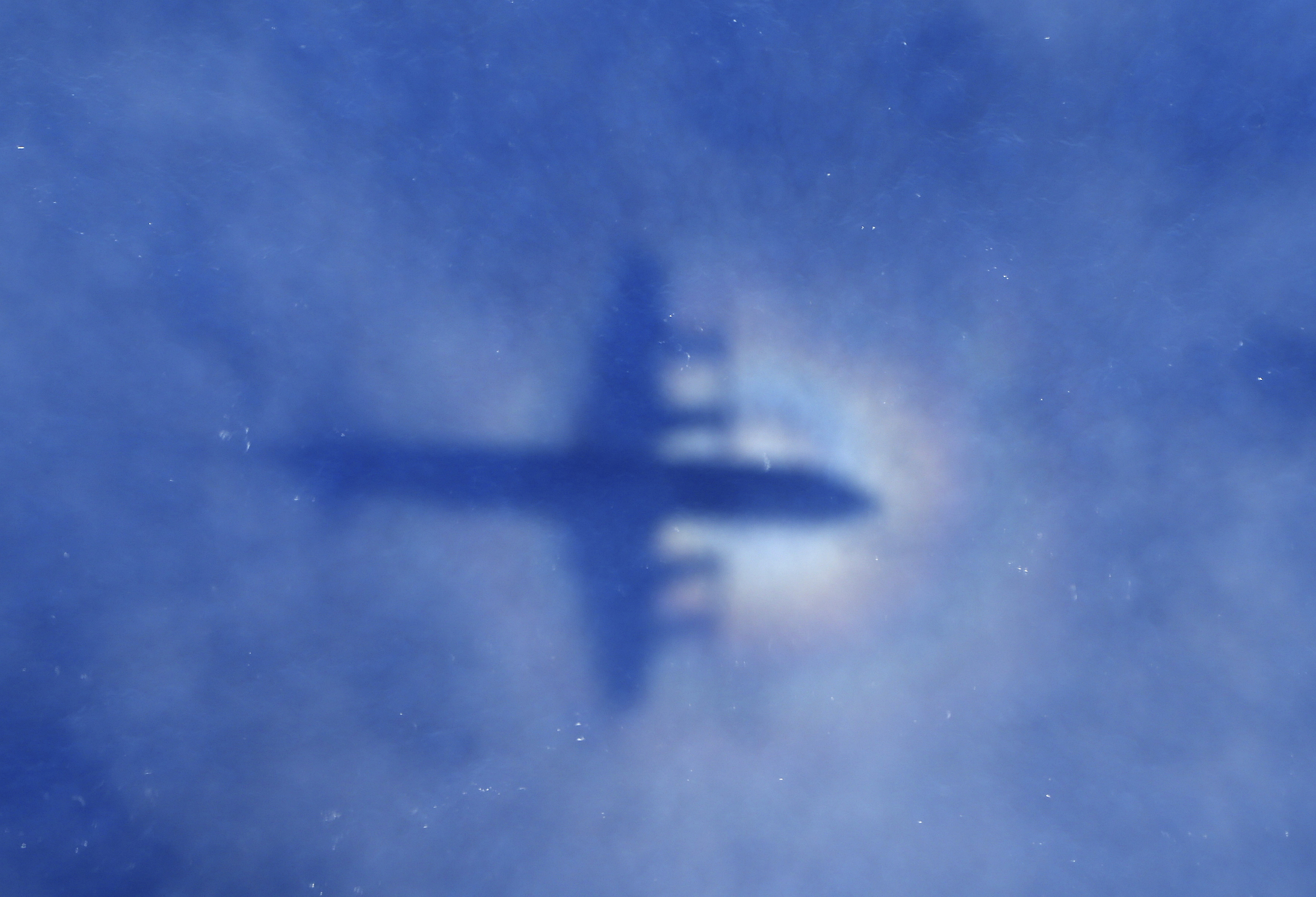
On March 8, a Malaysia Airlines flight went missing during its journey from Kuala Lumpur, Malaysia, to Beijing, China; air traffic controllers lost communication with the Boeing 777, and the plane never made it to its final destination.
Investigators eventually determined that the flight, carrying 239 people, took an abrupt turn and ended in the southern Indian Ocean. No debris has been found, thus far.
This conclusion was made based on satellite data and mathematics.
This data, however, has not been available to the public — until this Tuesday. The Malaysian government released 47 pages of information, and notes from the British satellite company Inmarsat, in an attempt to to provide more transparency.
The original analysis was done by Inmarsat and verified by an international team lead by Malaysia. According to the Guardian, the team consisted of “Malaysia’s Department for Civil Aviation, the US National Transport Safety Board, Britain’s Air Accidents Investigations Branch, and China’s Aircraft Accident Investigation Department.”
Complex equations and satellite data from Inmarsat led the Malaysian prime minister to declare that the flight “ended” in the southern Indian Ocean. As explained by the Associated Press, the plane gave off hourly “handshakes” to a satellite owned by Inmarsat. These “handshakes,” according to BBC, can be seen in the data.
Family members of the missing people on board have been demanding the release of the information, so that an independent analysis can be done, according to the Guardian.
The Guardian also notes that it is a highly technical report, which could take some time to analyze and potentially draw any new conclusions of where the missing plane could be.
The search for the plane is ongoing. It began with a search for floating debris, and is currently an underwater search. The Australian government, which has been at the helm of the search, has allocated roughly $83 million to the effort for the next two years.
h/t BBC, Associated Press, the Guardian
