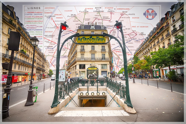
Every day on planet earth, over a quarter of a billion people take a ride on mass transit. For many of them, their daily commute is unchanging, but the rest have consulted a map of some kind. And even the regulars need a map occasionally — some to deviate from their normal path, others looking up their trajectory and connections for the first time, and some idly gazing at the map as their journey passes.
With billions of transit maps printed since they first made an appearance in the mid-nineteenth century in New York and London, these handy journey-planners are probably the most reproduced of all cartographic items.
“Transit Maps of the World” exists as a celebration of how transit maps have evolved through good design up until 2015 — while recognizing their future in this format is far from assured.
Click to view maps full-screen.

Paris, France. Remarkably produced in 1941 under the German occupation, the extent of the network barely changed for thirty years after this — bar minor rearrangements to some lines. For example: note the original Ligne 14, which was amalgamated into Ligne 13 in the 1970s. The modern Ligne 14 did not start operation until 1998.
Credit: Collection of Peter Lloyd

Paris, France. Scores of proposals are known to have been made to provide Paris with a mass transit system. This plan by Emile Letellier from 1872 includes quite a few similarities to some of the lines eventually built (for example, his trajectory between Neuilly and Bastille, most of which became Ligne I, and the approximate routes of 2 and 6).
Credit: Collection of Julian Pepinster

Washington, D.C. Detail from an 1880 map of street railways in the District of Columbia.
Credit: Collection of The Library of Congress

New York, N.Y. Commercial artist George Salomon worked with Eric Gill and was inspired by Harry Beck. He designed the 1958 map, which was the first full diagram of the New York Subway (here digitally remastered by Max Roberts).
Credit: Max Roberts

Moscow, Russia. This InTourist multi-lingual map (German, French, and English) was popular in the early 1960s.
Credit: Collection of Richard Thorogood

Berlin, Germany. Possessing one of the most exquisite borders, reflecting the Art Nouveau era, this 1922 map also depicts charming little station buildings on the Hochbahn sections.
Credit: Collection of Axel Mauruszat

London, England. By 1908, the deep-level tubes were open and maps like this were too detailed to be legible.
Credit: Collection of Peter Lloyd

Moscow, Russia. From the opening year 1935, this map places the lines in geographical context to the city streets.
Credit: Collection of Peter Lloyd
From “Transit Maps of the World: Expanded and Updated Edition of the World’s First Collection of Every Urban Train Map on Earth” by Mark Ovenden, published on Nov. 3, 2015 by Penguin Books, an imprint of Penguin Publishing Group, a division of Penguin Random House LLC. Copyright by Mark Ovenden, 2003, 2005, 2007, 2015.

