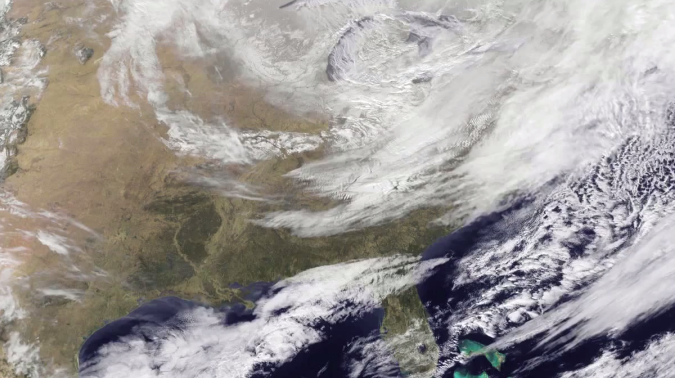
Winter 2014 was the fourth-warmest on record, globally, and it was California’s record hottest. But if you live in the eastern U.S., there’s only one way to sum this past winter up: cold. Also, snow.
At this point, when we’re almost out of it, you may think that you’re perhaps exaggerating it in your memory. You’re not. As this time-lapse of satellite imagery from NASA and NOAA’s GOES Project shows, from January 1 to March 24 it’s been basically nothing but storms:
From NASA, the accompanying stats:
According to NOAA’s National Weather Service (NWS), as of the first day of spring Washington, D.C. had received 30.3 inches of snow for the 2013-2014 winter season. Washington’s average winter snowfall is 15.3 inches, so the snowfall for the Nation’s Capital was almost double that, exceeding it by 15.0 inches. An early spring snow on March 25 is expected to add to that total.
Further north in Boston, Mass. snowfall totals were even higher. The NWS reported that since July 1, 2013, 58.6 inches of snow had fallen in Boston. The average snowfall is 40.8 inches, so Boston was 17.8 inches over normal snowfall.
The big snow story this winter has been across the Great Lakes region which has also seen record amounts of snowfall. According to NWS in Buffalo, the city has received 121.7 inches, or more than 10 feet of snow, as of March 24. Chicago has received 80 inches of snow which is more than double their annual snowfall amount of 34.4 inches.
