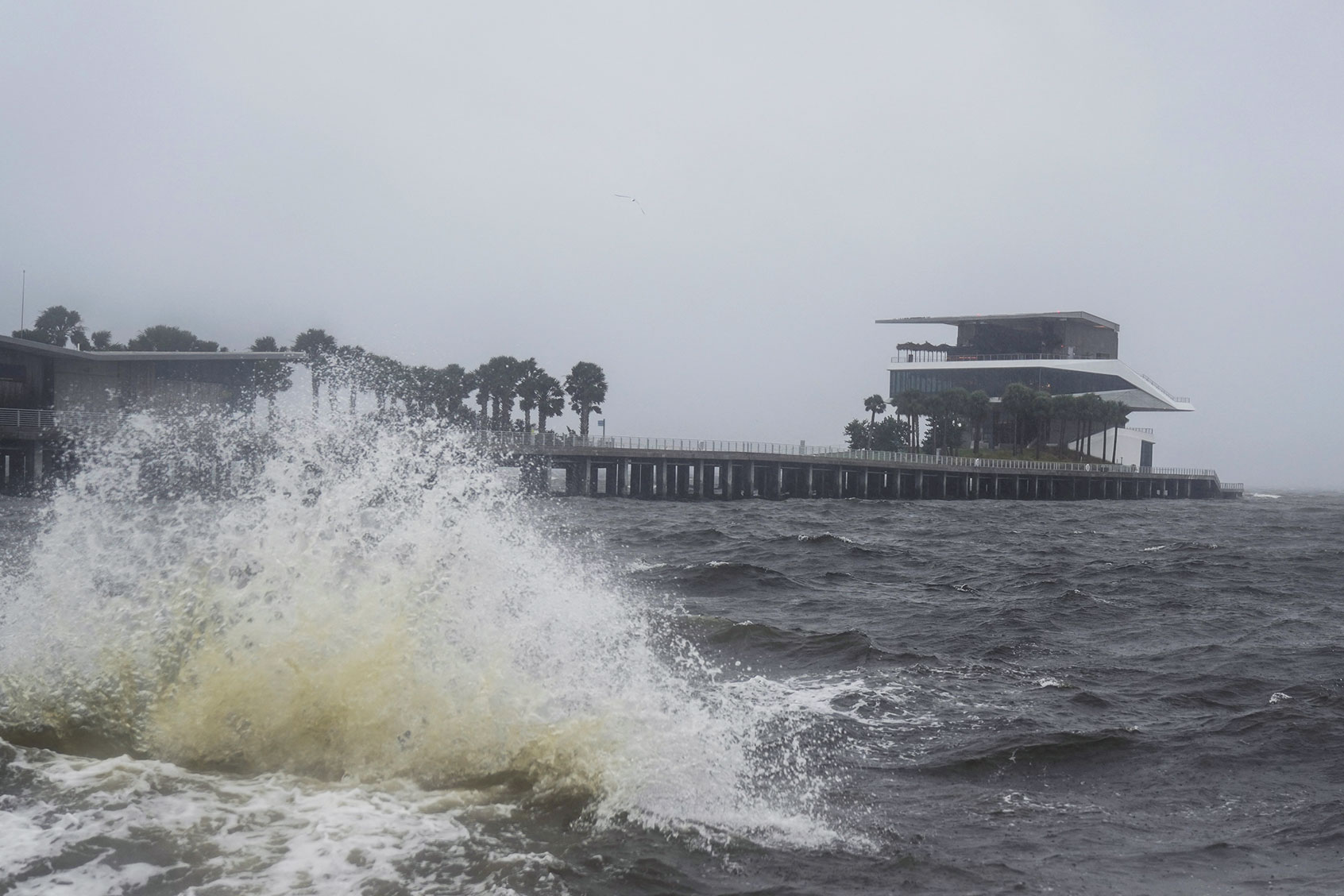
With Hurricane Milton making landfall in Florida on Wednesday evening, millions of Sunshine State residents have evacuated their homes or boarded up businesses to brace for the impending storm. This potentially historic storm has fluctuated between Category 3 status (meaning wind speeds above 110 mph) all the way to Category 5 status (wind speeds in excess of 157 mph), and its impacts, both short-term and long-term, will likely be devastating.
With Milton coming only days after Hurricane Helene battered the southeastern U.S., including inland areas many people assumed were more secure, Salon asked experts how to understand this year’s dramatic hurricane season.
Dr. Mark Serreze, director of the National Snow and Ice Data Center, addressed the obvious question, saying that this rapid succession of devastating hurricanes is at least partly due to anthropogenic climate change.
“I recently asked the question: How many more storms like Helene do we need to convince the denialist crowd that climate change is real?” Serreze said. Perhaps Milton will be the event, he suggested, that will cause such skeptics “to get their heads out of the sand and accept what is happening.”
The most obvious immediate consequence of this succession of hurricanes will be social and economic disruption on a highly unusual scale. The devastation of Asheville and nearby communities in eastern North Carolina demonstrated that even elevated regions far from the coastline are not safe from tropical storms. Insurance companies are jacking up rates as they grapple with unprecedented levels of infrastructure damage.
Want more health and science stories in your inbox? Subscribe to Salon's weekly newsletter Lab Notes.
Milton is not occurring “in isolation from the other disasters going on,” said Samantha Penta, a professor of emergency management at the University of Albany. “Residents' perceptions of the danger the storm poses, and what their response and recovery experiences, will be are being informed by what they see going on in areas affected by Helene.” With federal and local governments already working to provide relief after Helene — an effort complicated by widely shared online conspiracy theories — responses to subsequent natural disasters, Milton included, may be stretched thin.
“Collectively, Helene and Milton highlight the importance of investing in our emergency response and disaster recovery capabilities at all levels,” Penta said.
On Wednesday evening, Milton began to hit Florida’s coastline with heavy rainfall and tropical storm-level winds. Both the heavily populated Tampa Bay metropolitan area and the region just south of it are at grave risk, although some meteorologists have suggested the storm’s path may alter or “wobble.” If it continues on its projected track, by Thursday it will likely hit Orlando, another densely populated metropolitan area, where millions of people have either evacuated or hunkered down.
We need your help to stay independent
Storm surge warning has been issued for much of the Florida coast and portions of Georgia. Local institutions, from Tampa’s Sunshine Skyway Bridge to the region’s ubiquitous Waffle House franchises, have been shut down.
As the Sarasota Herald-Tribune reports, local forecasters predict that “Milton has the potential to be one of the most destructive hurricanes on record for west-central Florida." Some experts express another big worry: More super-storms may still lie ahead this season. “One would be more than enough,” said Michael Wehner, a senior scientist in the Computational Research Division at the Lawrence Berkeley National Laboratory who analyzes climate change data. But with waters in the Gulf of Mexico having “warmed so much because of climate change, I fear that we should expect such Category 5 storms to become more frequent.”
Even with all the data we now possess about past hurricanes and tropical storms, said Tom Knutson, a senior scientist at the National Oceanic and Atmospheric Administration's Geophysical Fluid Dynamics Laboratory, it remains difficult to evaluate the biggest or worst such events in historical terms.
“Our ability to observe intensities and intensification rates of hurricanes over the open ocean or Gulf of Mexico has improved markedly since, say, 1900,” Knutson said. “Therefore, some apparent records based on comparison with the existing, limited historical data need to be viewed with caution.”
Read more
about the climate crisis


